Regular as-built surveys have become a necessary input for building information modelling.
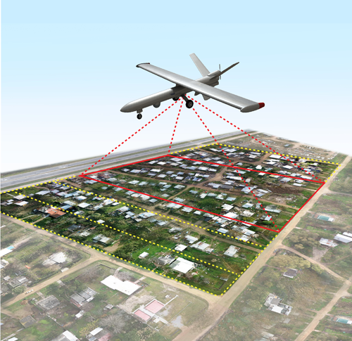
Such large-scale 3D data capturing can be conducted effectively by combining structure-from-motion and UAVs (Unmanned Aerial Vehicles).
Using a RTK-GNSS (Real Time Kinematic-Global Navigation Satellite System) equipped UAV, 22 repeated weekly campaigns were conducted at two altitudes in various conditions.
The photogrammetric approach yielded 3D models, which were compared to the terrestrial laser scanning based ground truth. Better than 2.8 cm geometry RMSE (Root Mean Square Error) was consistently achieved using integrated georeferencing.
It is concluded that the RTK-GNSS based georeferencing enables reaching better than 5 cm geometry accuracy by utilising at least one ground control point.
Read more at:
https://www.tandfonline.com/doi/abs/10.1080/00396265.2020.1830544